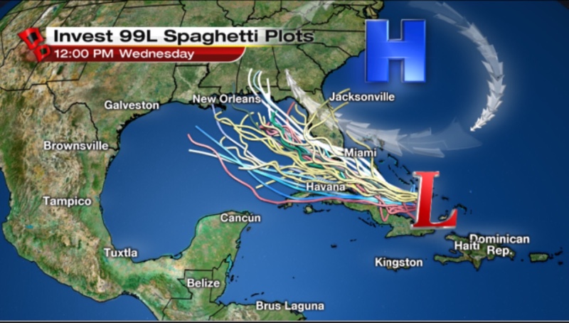
Models do not have a real good grasp on this as far as it being an organized storm. Because of its disheveldness, spaghetti plots are nearly useless. It would only be by chance, for now, that a storm would follow one of these tracks. Hurricane Hunters have also cancelled today's recon into it. Right now, odds are still very low for development. The expanding high pressure over the SE U.S. will guide whatever form this wave takes on a W/NW path into the GoM.
However, to all those declaring 99L dead - if there is a low pressure area with convection, in a moderate shear environment, over 85 deg F water, that is a foolish statement and demonstrates a lack of understanding of tropical development. All we can do, unfortunately, is continue to watch at this point. It may rapidly intensify or may simply be an area of enhanced rainfall for us next weekend.